



OCTOBER 2026 GPR CLEARANCE
Save 30% on standard LMX150 and LMX200 systems, or 25% on SG and SG-RTK configurations.
Contact Sales to confirm availability, lead times and eligibility for promotional pricing.
Promotion ends 30 October 2026.
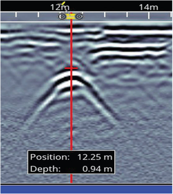
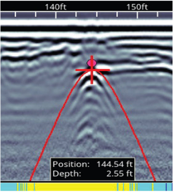
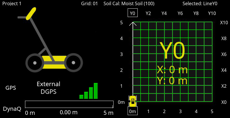
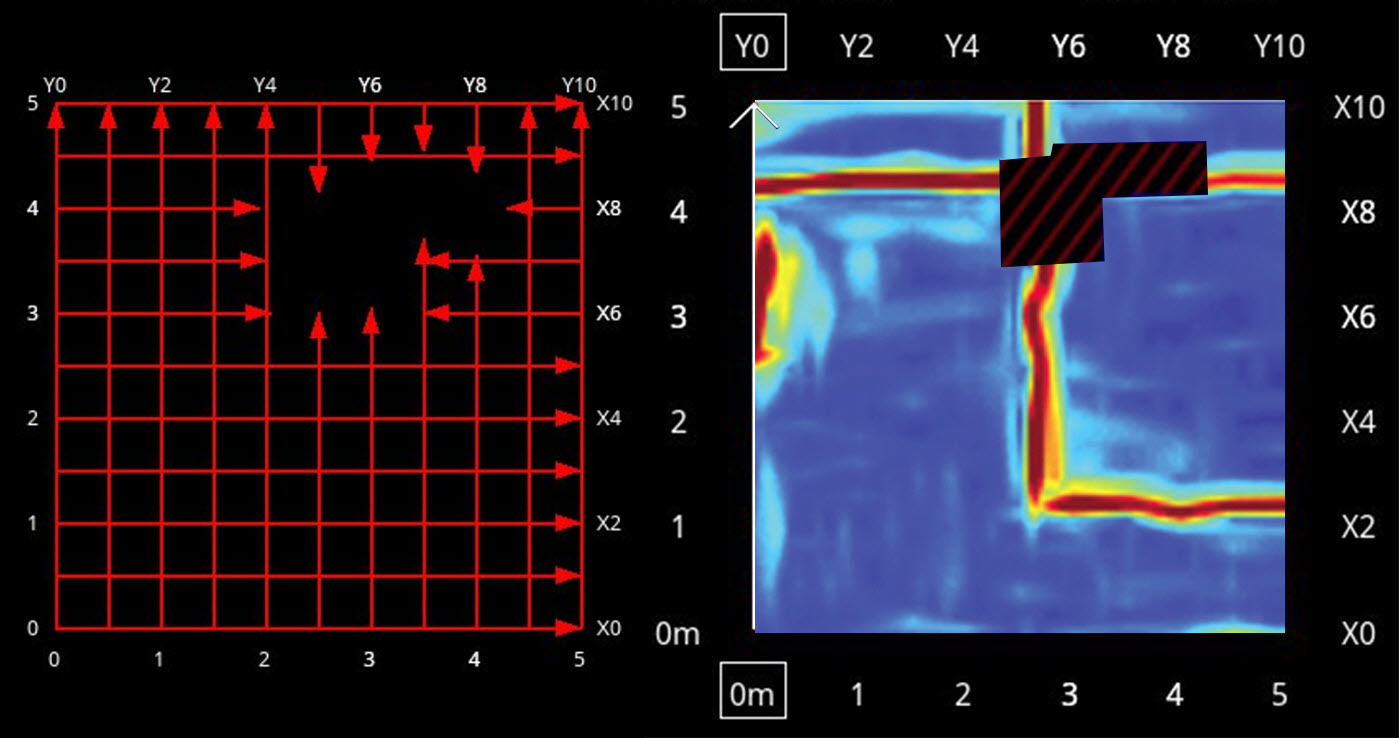
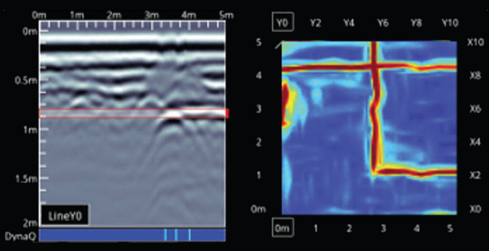
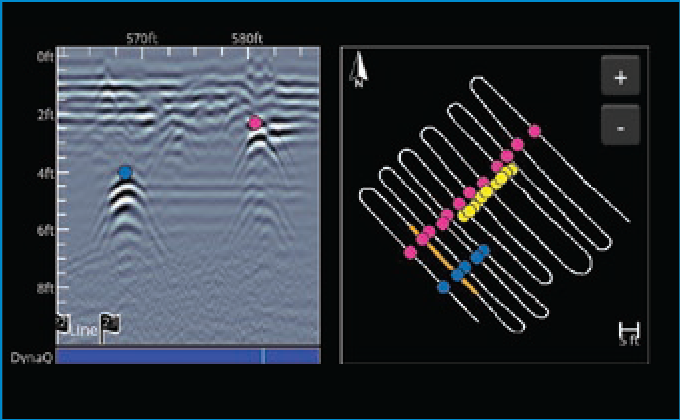
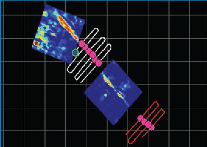
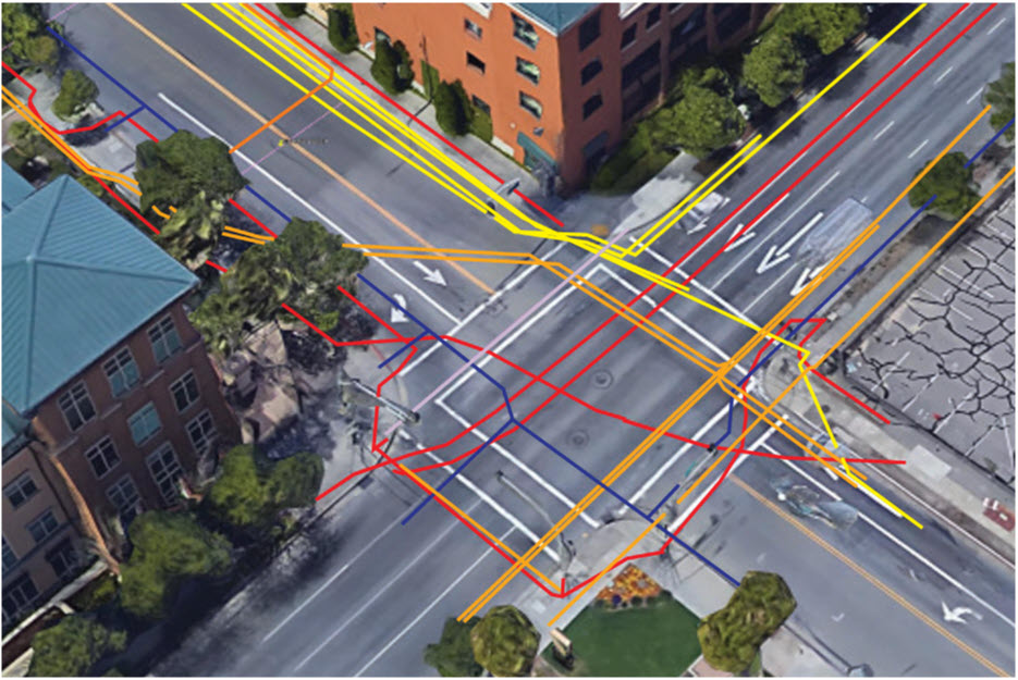
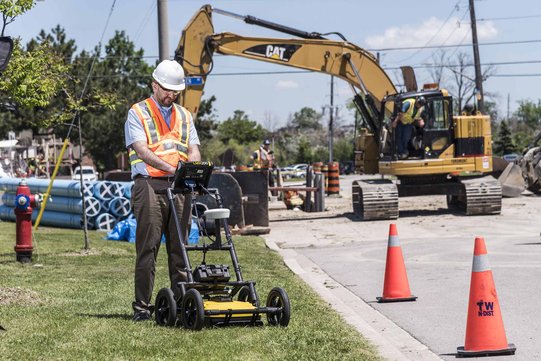
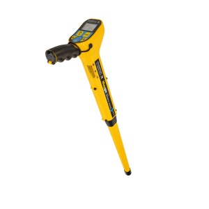
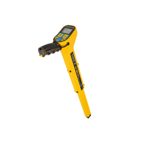
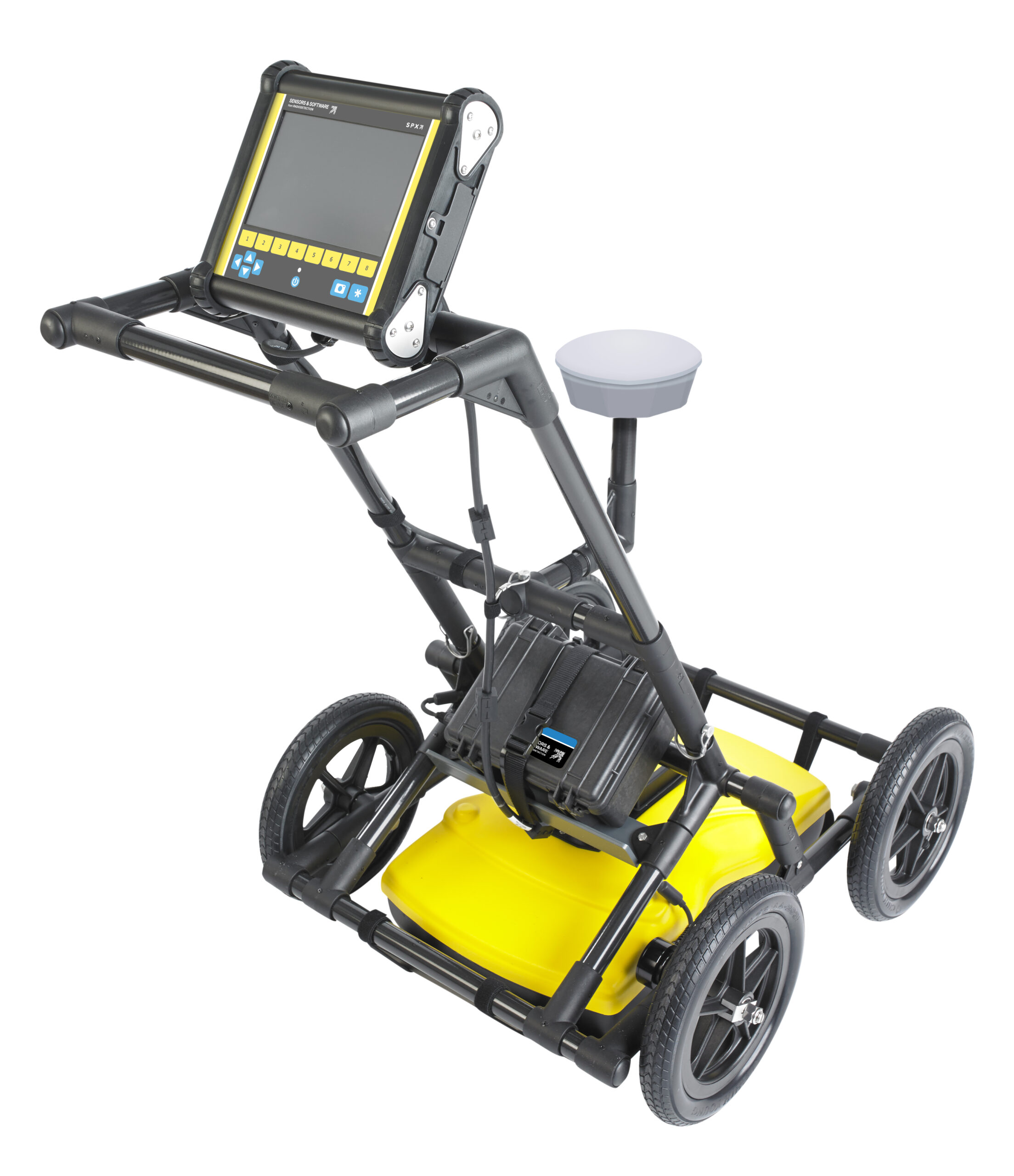
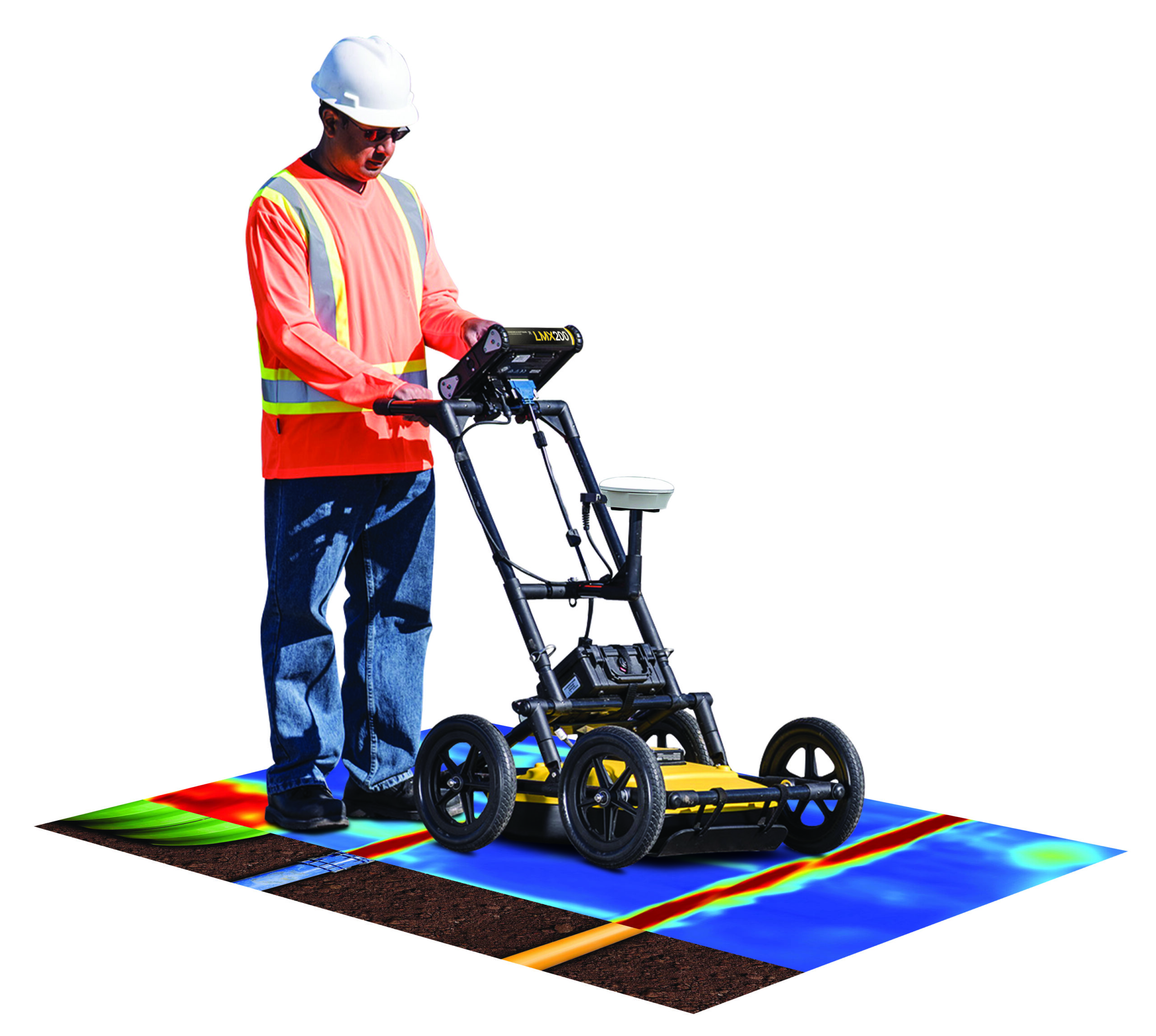
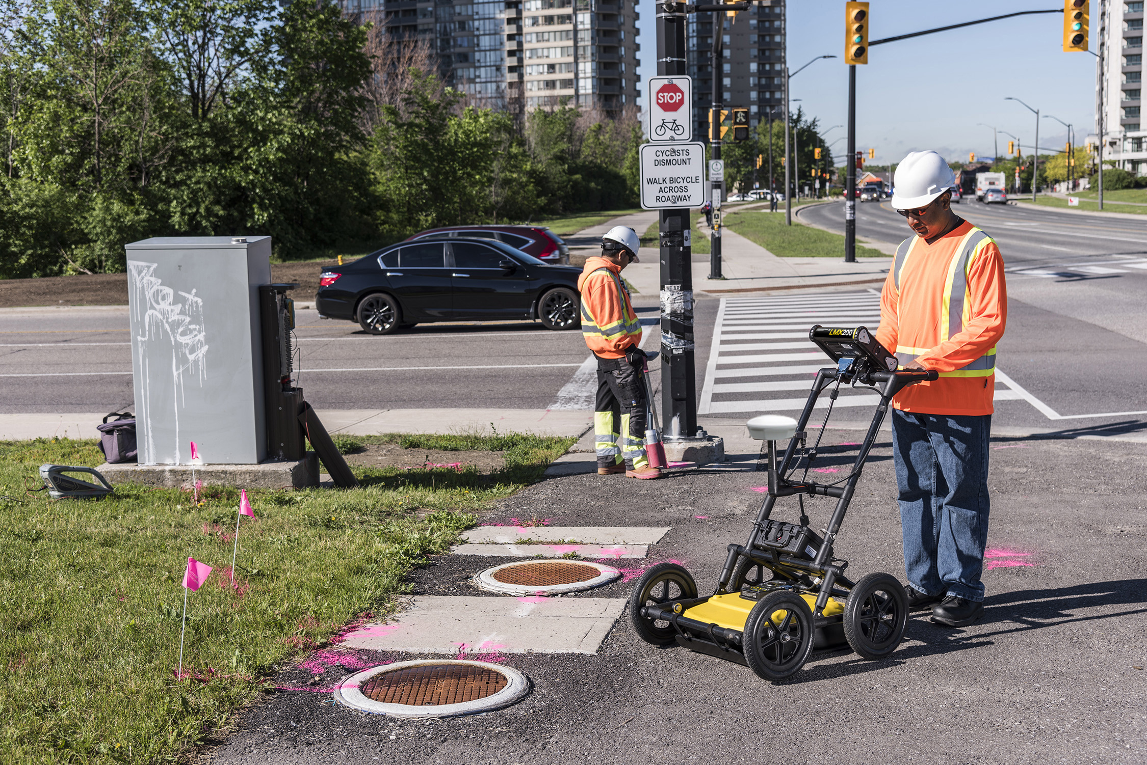
Public utility systems and local governments require that the positions of underground systems are located and marked. This helps in planning projects and avoiding risks and hazards. The LMX200™ builds on the capabilities of the LMX100™ and adds further features to help you locate and map these utilities. It adds the powerful Grid Scan mode and the ability to use an external GPS to take full advantage of SplitView and MapView.
The LMX200SG system is an all-in-one, plug-and-play solution to add high-accuracy positioning to your LMX200 GPR data. The SG bundle unlocks powerful locating and mapping advantages while in the field and post-processing.
The LMX200™ allows data export for easy project archiving as well as post-processing and report generation with the optional EKKO_Project GPR data analysis software.
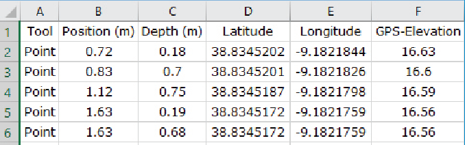
GNSS is an essential component for LMX150 / LMX200 workflows where accurate mapping, positioning, and survey data capture are required.